
A Basic Photogrammetry Workflow
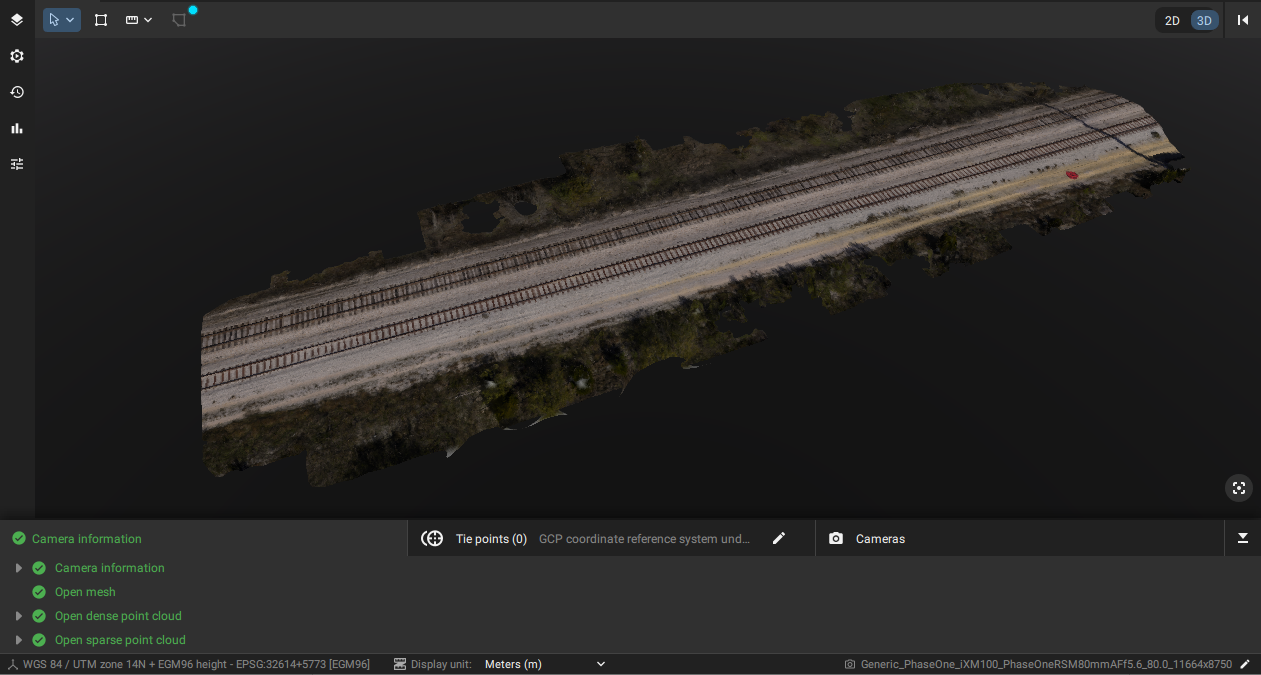
If you are using the imagery for mapping, 3D reconstruction, and orthomosaics, you can use software, such as Pix4D, to process the images. In the case of Pix4D, the process is quite simple. Just upload the photos or directory to the software and select the different operations and outputs that you need. In this case, for example, we captured a section of a railroad and processed it into a 3D point cloud and mesh, an orthomosaic and DSM in a relatively short amount of time. This data was captured with RTK being used in the field, which provides more accurate results. If accuracy is even more important, it would be helpful to use ground control points (GCPs) in your project and process those. The specific processing workflows are beyond the scope of this document, but this gives you one idea about how the data can be used.
Last updated